Doctoral Research
Optimizing map projection selection for world maps and web maps
Advisor:
Committee:
Location:
Date:
Bernhard Jenny
Ronald Metoyer, Denis White, Julia Jones, Robert Holman
Oregon State University, College of Earth, Ocean, and Atmospheric Sciences
28. April 2015

"The best projections are those satisfying in an optimum way an entire group of requirements for projectionsin accordance with the particular purpose of the map being designed." (Bugayevskiy and Snyder, 1995)
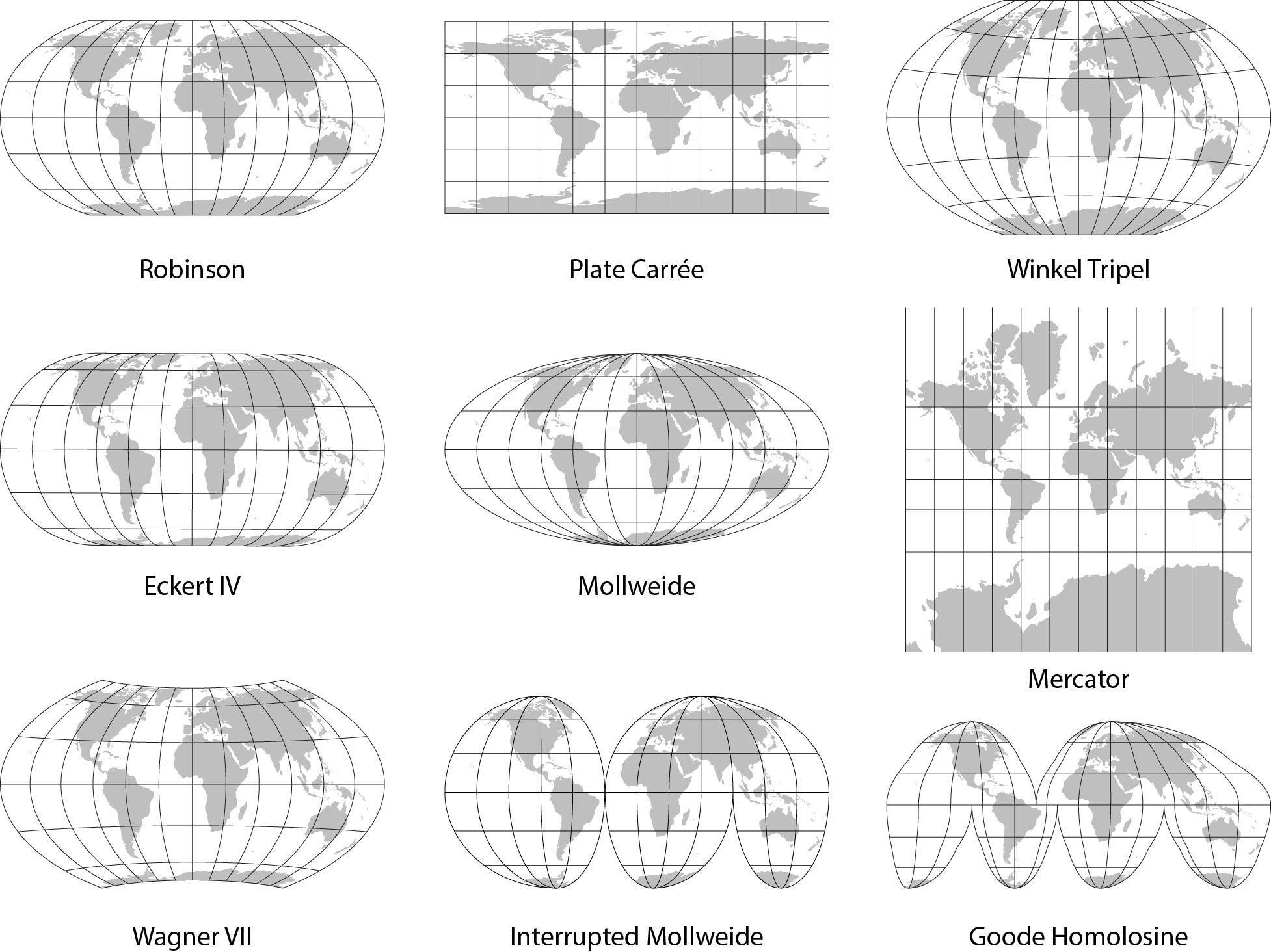
User preferences for world map projections
The user preferences were tested with an extensive user study among map-readers and trained cartographers. Participants compare nine commonly used map projections and performed separate tests evaluating their preferences for visualizing meridians, parallels and poles.
The results indicate that map-readers have three basic preferences for world map projections: (1) uninterrupted graticules, (2) elliptical meridians, and (3) straight parallels. In addition, map-readers prefer projections that represent poles as lines to projection that show poles as protruding edges.
The Natural Earth II world map projection
The Natural Earth II projection is compromise projection for world maps designed by Tom Patterson in 2012. At high latitudes, projected meridians bend steeply toward short pole lines resulting in a map with highly rounded corners.
The 355 participants of the user study compared the Natural Earth II to similar compromise projections. They rated it lower than the Robinson and Natural Earth projections, but higher than the Wagner VI, Kavrayskiy VII, and Wagner II projections.
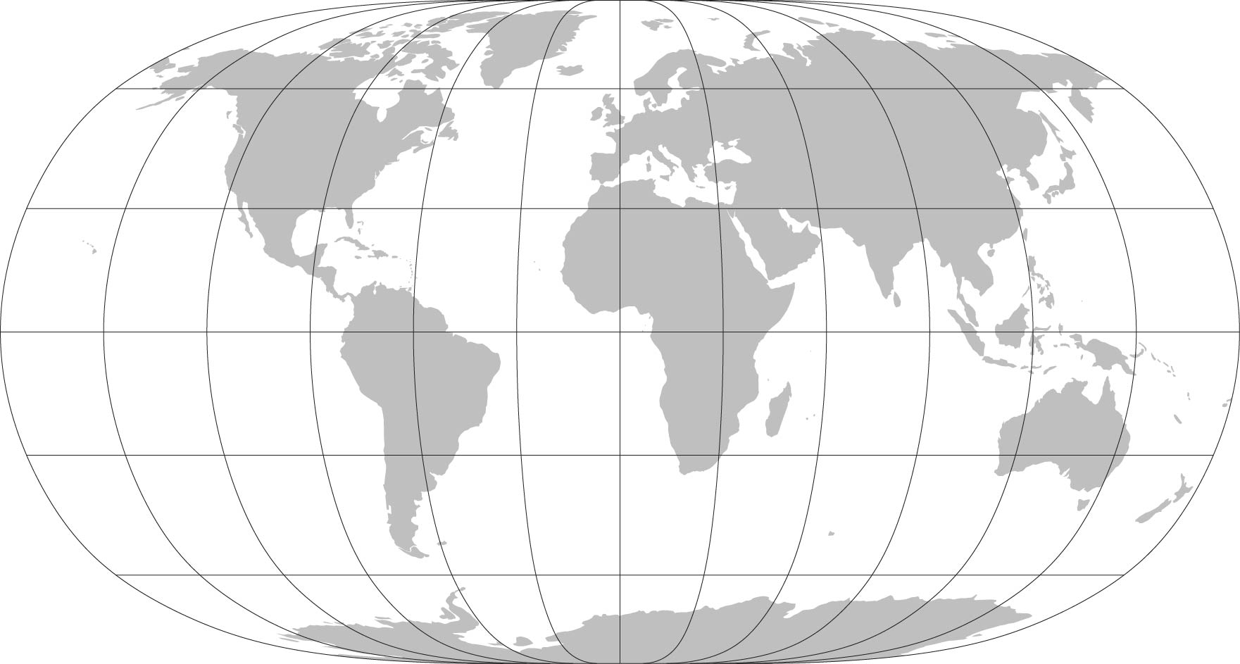
The Natural Earth II projection
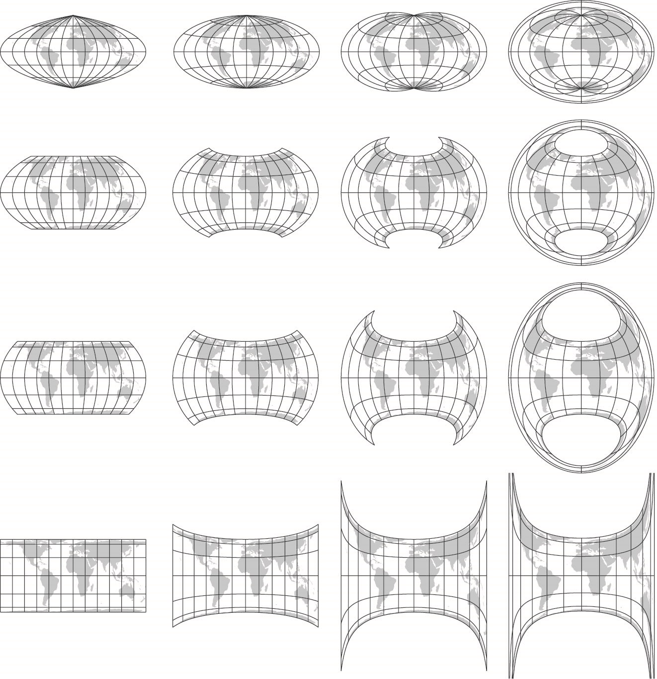
A new pseudocylindrical equal-area projectionfor adaptive composite map projections
The original adaptive composite map projections have three alternative projections for world maps, all representing pole as points. Adaptive composite map projections can include a variety of other projections when the transformation between the medium- and small-scale projections uses Wagner’s transformation method.
To select the most suitable pseudocylindrical projection, the distortion characteristics are analyzed, and a user study among map projection experts is carried out. Based on the results, a new pseudocylindrical projection is recommended for extending adaptive composite map projections.
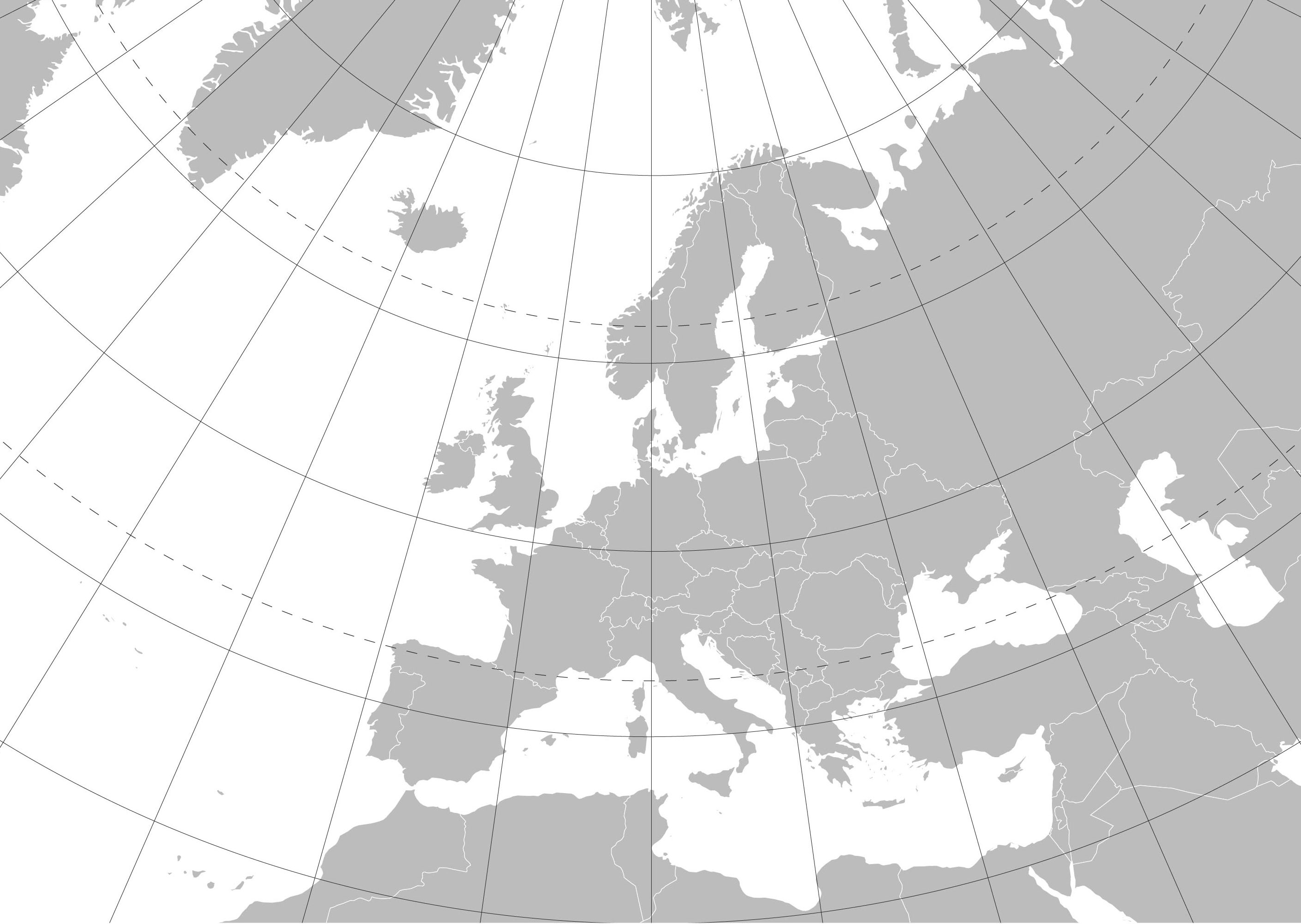
Automating the selection of standard parallelsfor conic map projections
This research introduces a polynomial model that quickly provides the standard parallels for the three most common conic map projections: the Albers equal-area, the Lambert conformal and the equidistant conic projection.
The model defines the standard parallels based on the spatial extent of the mapped area, defined by the length of the mapped central meridian segment, the central latitude of the displayed area, and the width-to-height ratio of the map.