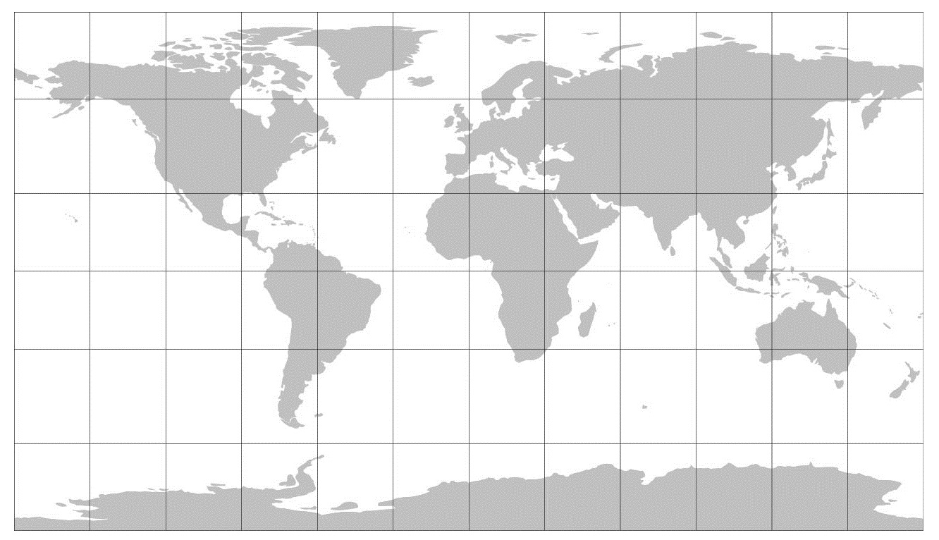
Natural Earth projection
The Natural Earth projection is a pseudocylindrical projection with moderate distortion. It has distinguishing rounded corners, where the pole lines and bounding meridians meet. It was designed in Flex Projector by Tom Patterson in 2007.
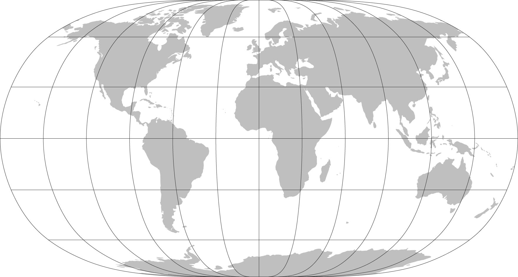
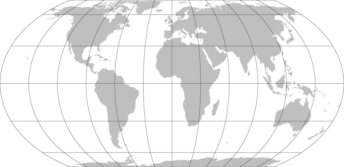
Natural Earth II projection
The Natural Earth II projection is another pseudocylindrical projection with compromise distortion designed by Tom Patterson in Flex Projector. It has a highly rounded shape, which resembles an elongated globe.
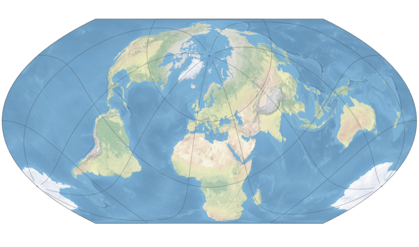
Patterson projection
The Patterson projection, a new projection designed for general-purpose mapmaking, is an alternative to other cylindrical projections. It falls between the popular Miller 1 cylindrical, which exaggerates the size of polar areas, and the Plate Carrée, which compresses the mid latitudes. It was designed by Tom Patterson in Flex Projector.
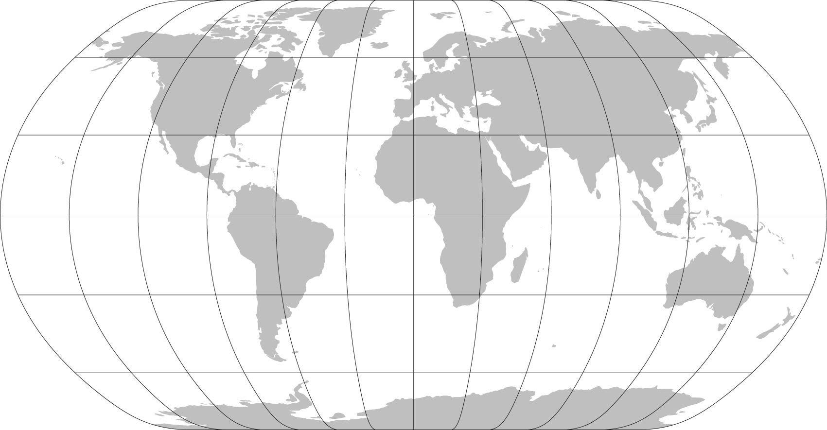
Equal Earth projection
The Equal Earth map projection is a new equal-area pseudocylindrical projection for world maps. It is inspired by the widely used Robinson projection, but unlike the Robinson, it retains the relative size of areas. A wave of news stories in late March 2017 that Boston Public Schools are switching to the Peters projection motivated the creation of this projection.
Featured by New Scientist, Popular Mechanics, Daily Mail, Newsweek, CityLab, xyHt, ArcUser, AMS, and others.
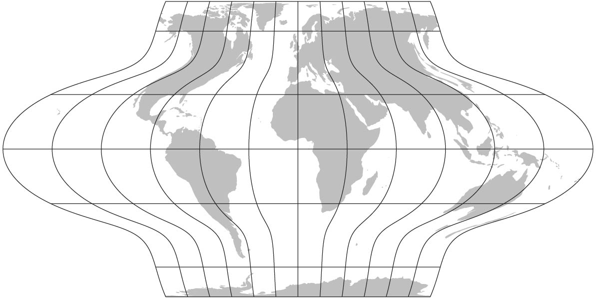
Adaptive Composite Map Projections
Adaptive composite map projections combine several projections; they adapt the map's geometry to scale, to the map's height-to-width ratio, and to the central latitude of the displayed area. The multiple projections are combined, and their parameters are adjusted to create seamless transitions. It was introduced by Bernhard Jenny.
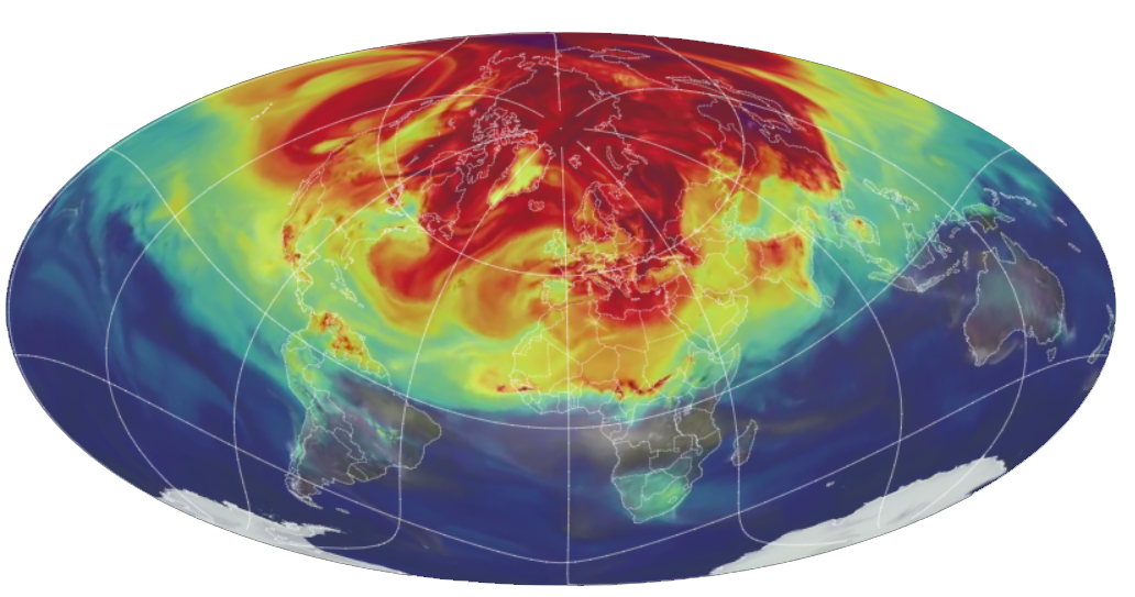
A Year in the Life of Earth’s CO2 is an interactive video map that visualizes the global atmospheric carbon dioxide distribution in 2006. The map was created by Bernhard Jenny and his team; it uses the adaptive composite map projections framework.
2016 Best Map Award by the Journal of Maps
2016 The Vizzies Visualization Challenge – Interactive by the U.S. National Science Foundation
2015 CaGIS Map Design Professional Competition: Interactive Digital
2015 Avenza Award for Electronic Mapping Highly Commended (2nd place) by the British Cartographic Society
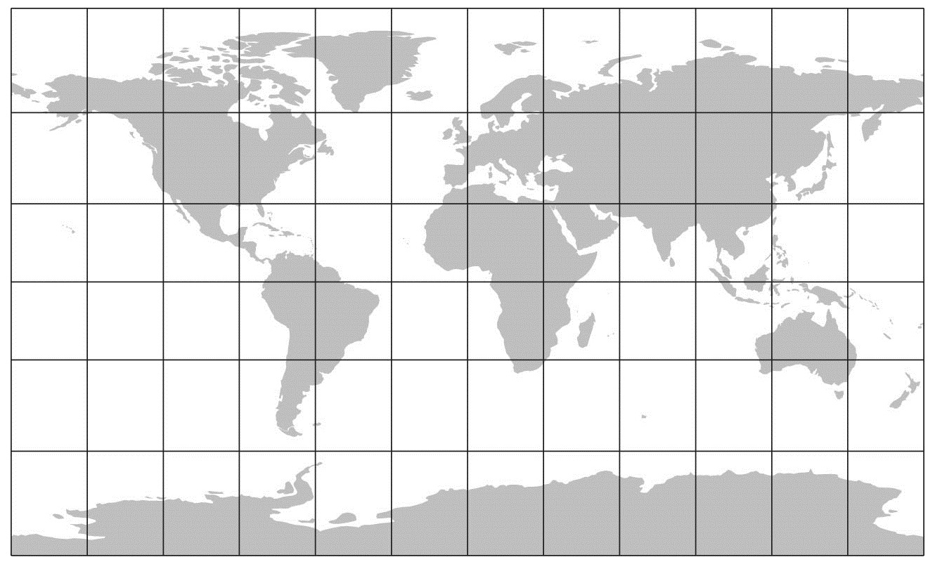
Aspect-Adaptive cylindrical projection
The compromise aspect-adaptive cylindrical map projection adjusts the distribution of parallels to the height-to-width ratio of a map. The polynomial expressions define the projection for any height-to-width ratio between 0.3 and 1. The Compact Miller projection (on the right) is a special case of the aspect-adaptive cylindrical projection with the height-to-width ratio of 0.6.